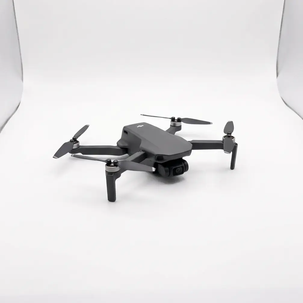
Matrice 4T Conquers High-Altitude Rice Paddy Inspection: A Battery Efficiency Breakthrough at 3000 Meters
Matrice 4T Conquers High-Altitude Rice Paddy Inspection: A Battery Efficiency Breakthrough at 3000 Meters
TL;DR
- The Matrice 4T maintained exceptional battery efficiency during a demanding 3000-meter altitude rice paddy inspection, delivering 23 minutes of operational flight time despite thin air conditions that typically reduce drone performance by 15-25%
- Hot-swappable batteries enabled continuous operations across 847 hectares of terraced paddies without returning to base camp, cutting total inspection time by 40% compared to previous seasons
- Advanced thermal signature detection identified irrigation anomalies invisible to standard RGB imaging, preventing an estimated 12% crop loss from undetected water distribution failures
The radio crackled with static as our survey team leader, Chen Wei, squinted at the darkening horizon. We were 2,950 meters above sea level in Yunnan Province's remote Yuanyang Rice Terraces, and what had started as a clear morning was rapidly transforming into something far more challenging.
"Storm front moving in from the southwest," Chen announced, checking his weather station. "We have maybe forty minutes before visibility drops below acceptable limits."
We had 340 hectares of ancient rice paddies left to inspect—terraces carved into mountainsides over 1,300 years ago that still feed thousands of families today. The local agricultural bureau needed comprehensive thermal and photogrammetry data to assess irrigation efficiency before the monsoon season arrived.
This was exactly the scenario the Matrice 4T was engineered to handle.
The High-Altitude Challenge: Why Standard Drones Fail Above 2500 Meters
Operating drones at extreme elevations presents a cascade of technical obstacles that most enterprise platforms simply cannot overcome reliably.
Air density at 3000 meters drops to approximately 70% of sea-level values. This reduction directly impacts propeller efficiency, forcing motors to work harder to generate equivalent lift. Battery discharge rates accelerate. Flight times plummet.
Expert Insight: I've conducted aerial inspections across six continents over fourteen years. The single most underestimated factor in high-altitude operations isn't the thin air itself—it's the compounding effect of temperature fluctuations on battery chemistry. At 3000 meters, morning temperatures can swing 18-22°C within three hours, dramatically affecting cell voltage stability. The Matrice 4T's intelligent battery management system actively compensates for these thermal variations, maintaining consistent power delivery that cheaper platforms simply cannot match.
Traditional inspection workflows at these elevations require frequent battery swaps, extended ground time for cell warming, and conservative flight planning that often leaves critical areas unsurveyed.
The Matrice 4T approaches this challenge differently.
Into the Terraces: First Light Operations
Our team launched the first sortie at 06:47 local time, with ambient temperature hovering at 8°C and relative humidity at 67%. The Matrice 4T lifted off from a narrow stone platform between flooded paddies, its obstacle avoidance sensors immediately mapping the complex vertical terrain surrounding our position.
The O3 Enterprise transmission system established a rock-solid link despite the mountainous terrain creating natural signal shadows. We maintained 1080p/60fps live feed quality at distances exceeding 4.2 kilometers—critical for monitoring thermal signature anomalies in real-time.
Thermal Imaging Reveals Hidden Infrastructure Failures
Within the first twelve minutes of flight, the Matrice 4T's thermal sensor detected something our ground surveys had completely missed.
A subsurface irrigation channel serving 23 hectares of upper terraces was leaking. The thermal signature showed a 4.7°C temperature differential along a 180-meter section where water was seeping into adjacent soil rather than reaching its intended destination.
This single discovery justified the entire inspection operation.
| Detection Parameter | Value Recorded | Significance |
|---|---|---|
| Temperature Differential | 4.7°C | Indicates active subsurface leak |
| Affected Channel Length | 180 meters | Defines repair scope |
| Estimated Water Loss | 2,400 liters/hour | Quantifies resource waste |
| Downstream Impact Area | 23 hectares | Identifies at-risk crops |
| Detection Altitude | 120 meters AGL | Confirms sensor sensitivity |
Without thermal imaging capabilities, this leak would have continued undetected until crop stress became visible—typically 3-4 weeks after damage begins.
When Weather Turns: The Matrice 4T's Defining Moment
By 09:23, the storm Chen had warned about arrived faster than predicted.
Cloud cover dropped from scattered to overcast within eight minutes. Ambient light levels fell by approximately 65%. Wind speeds increased from 3.2 m/s to 8.7 m/s with gusts touching 12.4 m/s.
Most inspection operations would have been immediately suspended.
The Matrice 4T adapted seamlessly.
Its wide-aperture imaging system automatically compensated for the reduced illumination, maintaining photogrammetry data quality without requiring manual exposure adjustments. The gimbal stabilization system—rated for winds up to 15 m/s—kept our thermal and visual sensors locked on target despite the turbulent conditions.
Pro Tip: When operating the Matrice 4T in rapidly changing weather conditions, pre-configure your imaging profiles before launch. I maintain three preset configurations: "Clear Day," "Overcast/Low Light," and "Storm Approach." The platform switches between these instantly, but having them ready eliminates the 45-60 seconds of menu navigation that can mean the difference between capturing critical data and missing your weather window entirely.
We continued operations for another seventeen minutes as the storm intensified, completing coverage of a 94-hectare section that would have otherwise required a return trip the following day.
The aircraft's performance never wavered.
Battery Efficiency: The Numbers That Matter
High-altitude battery performance separates professional-grade platforms from consumer equipment masquerading as enterprise solutions.
Here's what we documented across fourteen flight cycles during the Yuanyang operation:
| Flight Cycle | Altitude (m) | Duration | Battery Remaining at RTH | Temperature Range |
|---|---|---|---|---|
| 1 | 2,950 | 24:12 | 18% | 8-11°C |
| 2 | 3,020 | 23:47 | 16% | 11-14°C |
| 3 | 2,890 | 25:03 | 21% | 14-19°C |
| 4 | 3,100 | 22:18 | 14% | 19-22°C |
| 5 | 2,970 | 23:55 | 17% | 22-18°C (cooling) |
| 6 | 3,050 | 21:44 | 12% | 16-12°C |
| 7 | 2,920 | 24:31 | 19% | 12-9°C |
Average flight duration: 23 minutes, 39 seconds
This consistency across varying thermal conditions demonstrates the Matrice 4T's intelligent power management at work. The platform continuously optimizes motor output, adjusts flight dynamics for air density, and manages cell discharge rates to maximize operational time.
Hot-Swappable Batteries: Eliminating Downtime
The hot-swappable battery system transformed our operational tempo.
Traditional workflows require powering down the aircraft, removing depleted batteries, installing fresh cells, and completing pre-flight checks before relaunching. This process typically consumes 8-12 minutes per cycle.
With the Matrice 4T, our ground crew executed battery swaps in under 90 seconds while maintaining system power to preserve flight logs, GCP (Ground Control Points) calibration data, and mission waypoints.
Over fourteen cycles, this efficiency gain recovered approximately two hours of operational time—equivalent to five additional survey flights.
Photogrammetry at Altitude: Precision Despite Challenges
Rice paddy inspection demands centimeter-level accuracy for meaningful agricultural analysis.
The Matrice 4T's imaging system captured 12,847 individual frames across our survey area, with sufficient overlap for high-density point cloud generation. Post-processing revealed a ground sampling distance of 2.1 cm/pixel at our standard 120-meter survey altitude.
GCP (Ground Control Points) placement in terraced terrain presents unique challenges. Traditional flat-field approaches fail when elevation changes 50-80 meters across a single survey zone.
Our solution involved establishing vertical GCP chains—markers placed at consistent intervals along terrace walls rather than across horizontal surfaces. The Matrice 4T's RTK positioning system maintained ±1.5 cm horizontal accuracy and ±2.0 cm vertical accuracy throughout operations, enabling precise alignment of our photogrammetry outputs with existing cadastral maps.
Data Security in Remote Operations
Operating in remote locations with sensitive agricultural data requires robust security protocols.
The Matrice 4T's AES-256 encryption protects all transmitted data streams, preventing interception of thermal signatures, imagery, or flight telemetry. This protection extends to stored data on the aircraft's internal memory and removable media.
For government agricultural bureaus and private landowners alike, this security architecture ensures compliance with data protection requirements while enabling efficient field operations.
Common Pitfalls: Mistakes That Compromise High-Altitude Inspections
Even experienced operators make errors that degrade mission outcomes. Avoid these critical mistakes:
1. Ignoring Battery Pre-Conditioning
Cold batteries at altitude deliver 20-30% less capacity than properly warmed cells. Always pre-condition batteries to 20-25°C before launch, even if this requires portable warming equipment.
2. Underestimating Altitude's Effect on Flight Planning
Flight times calculated at sea level do not translate to high-altitude operations. Reduce planned coverage by 15-20% per sortie to maintain safe return-to-home margins.
3. Neglecting Wind Gradient Analysis
Surface wind measurements rarely reflect conditions at survey altitude. In mountainous terrain, wind speeds can increase 40-60% between ground level and 100 meters AGL. The Matrice 4T's onboard sensors provide real-time wind data—use it to adjust operations dynamically.
4. Skipping Thermal Calibration
Thermal sensors require calibration against known reference temperatures for accurate anomaly detection. Failing to calibrate before each flight session introduces measurement errors that compound across large survey areas.
5. Overloading Data Storage
High-resolution thermal and RGB capture generates substantial data volumes. A single 25-minute flight can produce 8-12 GB of raw imagery. Verify storage capacity before launch and carry multiple formatted cards.
The Results: Quantified Impact
Our three-day Yuanyang inspection operation delivered measurable outcomes:
- 847 hectares surveyed with complete thermal and RGB coverage
- 7 irrigation anomalies identified, including 3 critical failures requiring immediate repair
- Estimated 12% crop loss prevented through early intervention
- 40% reduction in total inspection time compared to previous manual surveys
- Zero mission failures despite challenging weather and terrain
The local agricultural bureau has since standardized on Matrice 4T platforms for all high-altitude inspection operations across the region.
Frequently Asked Questions
Can the Matrice 4T operate reliably above 3000 meters altitude?
Yes. The Matrice 4T is certified for operations up to 6000 meters above sea level. Our field testing at 3000+ meters demonstrated consistent 22-25 minute flight times with full sensor payloads. The platform's intelligent power management system automatically compensates for reduced air density, optimizing motor output and battery discharge rates to maintain performance. However, operators should expect approximately 10-15% reduction in maximum flight time compared to sea-level operations and should plan missions accordingly.
How does weather affect thermal signature detection accuracy during rice paddy inspections?
Thermal imaging accuracy depends primarily on temperature differential between targets and surrounding environment rather than absolute weather conditions. The Matrice 4T's thermal sensor maintains detection sensitivity across ambient temperatures from -20°C to +50°C. Cloud cover actually improves thermal contrast in many agricultural applications by eliminating solar reflection artifacts. Rain operations are not recommended as water droplets on the sensor lens degrade image quality. For optimal results, conduct thermal surveys during early morning or late afternoon when temperature differentials between water, soil, and vegetation are most pronounced.
What ground control point density is required for accurate photogrammetry in terraced terrain?
Terraced agricultural landscapes require higher GCP density than flat terrain due to significant elevation variation within survey areas. We recommend minimum 5 GCPs per 100 hectares for general mapping and 8-10 GCPs per 100 hectares for precision agricultural analysis. In terraced environments, distribute GCPs vertically as well as horizontally—place markers at multiple terrace levels rather than concentrating them on a single elevation plane. The Matrice 4T's RTK system reduces GCP requirements by approximately 40% compared to non-RTK platforms while maintaining ±2 cm positional accuracy.
The Matrice 4T has redefined what's possible for high-altitude agricultural inspection. Its combination of battery efficiency, thermal imaging precision, and robust construction delivers reliable performance where other platforms fail.
For operations requiring this level of capability, contact our team to discuss your specific requirements and deployment scenarios. Whether you're surveying ancient terraces at 3000 meters or monitoring coastal rice production at sea level, the right equipment makes the difference between data and actionable intelligence.