Neo for Coastal Power Line Photography: A Practical Field
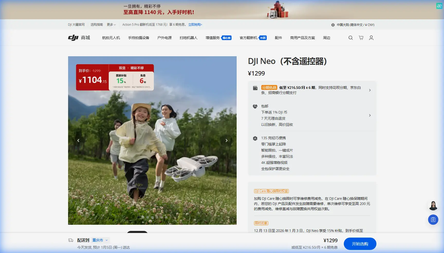
Neo for Coastal Power Line Photography: A Practical Field Tutorial Rooted in Flight Reliability
META: Learn how to capture coastal power lines with Neo using a reliability-first workflow inspired by APM failsafe and parameter-setting principles, with practical tips for interference, tracking, and stable image capture.
Coastal power line photography asks more from a drone pilot than many people expect. The subject looks simple: poles, wires, shoreline, wind, maybe a service road. The reality is much less forgiving. Salt air can reduce visual clarity. Wind can shift direction quickly near bluffs or open water. Reflective surfaces confuse exposure decisions. And if you are working near energized infrastructure, electromagnetic interference becomes a real operational variable rather than a theory.
That is why a good Neo workflow should start with something far less glamorous than camera settings. It should start with control logic, recovery behavior, and preflight validation.
I say that as a photographer first. Good images come from confidence in the aircraft. If I’m documenting power lines in a coastal corridor, I do not want to spend the whole mission wondering what happens if signal quality dips for a second, or if an automatic behavior trips at the wrong moment. I want the drone to behave predictably, and I want my own procedures to absorb as much risk as possible before the aircraft ever leaves the ground.
Interestingly, one of the best ways to think about that mindset comes from older APM flight-control guidance. The manual section covering failsafe configuration and terminal-level checks may seem far removed from a modern compact imaging drone like Neo. It isn’t. The underlying lesson is still highly relevant: reliability is not just about turning on protective features. It is about understanding how those features are triggered, how they interact with the flight controller, and when a simpler recovery path is actually safer.
Why coastal power line work is different
Power line imaging in coastal zones creates a layered challenge. You are often balancing four things at once:
- line-of-sight positioning around long linear assets
- unstable air near shore
- interference risk around electrical infrastructure
- the need for smooth, readable visual output rather than dramatic cinematic movement
This is where many pilots make a subtle mistake. They focus on image modes first—QuickShots, Hyperlapse, D-Log, ActiveTrack—and only later think about how the drone will react if the environment gets messy. For recreational travel content, that order can work. For infrastructure documentation, it is backwards.
Before you use obstacle avoidance or subject tracking around power assets, you need a recovery plan that is boring, conservative, and tested.
The most useful lesson from APM: not every built-in failsafe is your friend
A notable detail from the APM 2.8.0 manual is that its own onboard failsafe was generally not recommended in some situations. That advice surprises people. We tend to assume more automation means more safety.
The manual explains the concern clearly. APM’s failsafe logic relied on the flight controller’s MCU continuing to run properly, and each failsafe condition effectively added another decision branch into real-time operation. If the trigger sat in an unstable threshold zone—such as a borderline PWM condition repeatedly crossing the set value—the logic could retrigger over and over, potentially affecting MCU behavior badly enough to contribute to a crash.
That is an old platform-specific warning, but the operational significance is timeless.
For a Neo pilot photographing coastal power lines, the lesson is this: avoid stacking unverified automations in an already noisy environment. If your aircraft is dealing with gusts, signal reflections, and possible interference near utility corridors, your recovery setup should be straightforward and deliberate. You want fewer surprises, not more.
The same APM guidance suggested a cleaner workaround: use the receiver-side failsafe so that when remote signal is lost, a designated channel outputs a preset PWM value that causes the aircraft to shift into a safe behavior such as RTL or LAND. One especially specific detail in the source is the recommendation to have the fifth channel output the PWM needed to switch the controller into return-to-home or landing mode while the throttle channel remains at its pre-loss value.
Even if Neo’s exact architecture is different, the principle translates well. Recovery behavior should be anchored in known, externally understandable conditions rather than layered assumptions. In practical field terms, that means:
- Know what signal-loss behavior Neo is set to use.
- Confirm home point and altitude logic before takeoff.
- Do not rely on “smart” movement modes until you are confident in basic recovery.
- If the site has interference potential, keep the first pass manual and conservative.
A preflight routine that actually fits coastal line work
When I’m preparing Neo for utility-adjacent photography on the coast, I separate setup into three categories: mission behavior, aircraft behavior, and image behavior.
That split mirrors another useful APM reference detail. In Mission Planner, parameters were organized into three menus: Standard Params, Advanced Params, and Full Parameter List. That structure matters because it reflects a disciplined way to work. Basic settings cover what every pilot must verify. Advanced settings are for specific operational needs. Full access exists, but should not be touched casually.
For a Neo workflow, that same logic helps prevent accidental over-tuning.
1. Mission behavior: define the shot before the drone lifts off
For coastal power line capture, decide whether the sortie is for:
- inspection-style stills
- smooth reveal footage for reporting
- progress documentation
- environmental context around the line corridor
This affects your route and feature use.
If your goal is clarity and continuity, ActiveTrack or subject tracking may not be the first tool to reach for. Wires are thin, repetitive, and visually complex. In some scenes, the better choice is a slow manual lateral pass with obstacle awareness active but speed reduced. Subject tracking can still help if you are following a maintenance vehicle along the corridor rather than the line itself.
QuickShots are usually less useful for close utility work because they prioritize stylized motion over precise framing. Hyperlapse can work when the goal is to show corridor scale or changing weather over a shoreline, but it should be flown well away from wires and only after you’ve completed the essential documentation passes.
2. Aircraft behavior: simplify recovery and respect interference
This is where the APM failsafe lesson becomes practical.
Do not assume the aircraft can “figure it out” if signal or positioning becomes unstable near power lines. Instead:
- verify return-to-home behavior
- set a safe home point
- check battery health before launch
- keep initial passes outside the closest wire envelope
- avoid unnecessary mode changes mid-shot
If I notice control feel becoming inconsistent, I do not try to salvage a creative pass. I back off, widen the orbit, and reassess.
The prompt here mentions handling electromagnetic interference with antenna adjustment, and that is a very real field tactic. If you are seeing inconsistent control or video stability near a power corridor, one of the first adjustments is not a menu setting. It is pilot position and antenna orientation.
Move to a cleaner line of sight. Re-aim the controller antennas to optimize the link rather than pointing them blindly at the drone. Shift your standing location away from conductive structures, parked utility equipment, or fencing if possible. A small change in body position can materially improve link quality. Over water or along open coast, signal reflections can behave oddly; changing angle relative to the line can settle the connection.
That matters because interference is often situational, not constant. If you treat it as a fixed problem, you may overcorrect in settings when what you really needed was a better physical control geometry.
3. Image behavior: keep the footage useful, not just dramatic
Once the aircraft side is stable, then camera choices matter.
For power line imagery, D-Log can be valuable when the coastal background is bright and contrasty. It preserves flexibility in post, especially when poles, conductors, sea haze, and sky all compete for dynamic range. But D-Log is only worth using if your exposure discipline is solid. If the mission is operational documentation for asset review, consistency often beats stylization.
I usually think in layers:
- first pass: readable documentation
- second pass: context and movement
- third pass: optional creative visuals
That sequence keeps the deliverables safe even if weather shifts or interference shortens the session.
Borrow another lesson from APM: use the terminal mindset
A second strong insight from the source material is the role of the TERMINAL in Mission Planner. The manual describes it as a DOS-like serial debugging environment that could test raw sensor output, configure functions, clear configurations, download logs, and browse logs. It even gives a specific workflow: connect the APM to a computer, choose the port and baud rate, open TERMINAL, click the upper-left Connect button—not the general connect control on the upper right—and enter test to access the test submenu for outputs such as gyro data.
That detail is not just historical trivia. Its operational significance is huge: serious pilots do not treat the aircraft as a sealed mystery box. They inspect behavior, verify sensors, and look at logs when something feels off.
For Neo users, the exact menus may differ, but the habit should remain identical. If you flew a coastal line mission and saw a brief yaw twitch, intermittent obstacle response, or a signal anomaly near a specific span, do not shrug it off. Review the logs if available. Note the location, wind, battery state, and controller orientation. Build your own field intelligence.
This is how pilots improve faster than casual users. They stop treating odd behavior as random and start treating it as diagnosable.
A sample coastal power line shooting workflow with Neo
Here is the field sequence I recommend.
Step 1: Survey the corridor on foot
Walk the launch area first. Look for fencing, guy wires, parked trucks, transformers, salt spray, and any elevated terrain that could interrupt line of sight. Find a takeoff point that gives you room to retreat from the line rather than being boxed in by it.
Step 2: Establish your clean control position
Before launch, set your stance so the controller has the clearest possible path to the aircraft. If you suspect electromagnetic noise, plan an alternate standing point in advance. Antenna adjustment is often the quickest way to stabilize a weak link without interrupting the mission.
Step 3: Launch into a simple validation hover
Do not begin with ActiveTrack, Hyperlapse, or an automated reveal. Hover, yaw slowly, check drift, watch signal quality, and confirm the aircraft responds cleanly. This is your modern version of the APM “test” mentality—verify the platform before trusting it near critical framing.
Step 4: Make the first pass manually
Fly a slow, offset pass parallel to the corridor. Keep enough lateral distance that obstacle avoidance has room to help rather than react at the last second. Capture the assets plainly. This is your operational record.
Step 5: Add smart features only if the site proves stable
If the link is clean and the wind is manageable, bring in subject tracking or ActiveTrack for a vehicle-follow sequence along the maintenance path, or use a controlled reveal that shows how the line sits against the coast. QuickShots should be used sparingly and only when they don’t compromise wire clearance or framing intent.
Step 6: Use D-Log when dynamic range demands it
In coastal scenes, white sky and dark utility elements can fool standard exposure. D-Log gives you breathing room, especially around sunrise, late afternoon, or misty conditions.
Step 7: Log the oddities
If one section of the corridor produced interference or unstable behavior, note it immediately. Those observations become part of the site brief next time.
If you need a second set of eyes on a Neo setup for coastal infrastructure imaging, it can help to message a flight workflow specialist here before the next field day.
What photographers often miss about “safety features”
Obstacle avoidance sounds reassuring, and it is useful. But around power lines, it should be viewed as a support layer, not a permission slip. Thin wires, changing light, and repetitive geometry are exactly the kind of conditions that can expose the limits of automated perception.
The same goes for return-to-home. It is only as good as the altitude, home point, and signal logic behind it.
That is why the old APM warning still resonates. A safety feature is not automatically safe just because it exists. A trigger threshold, a mode switch, or a recovery command can behave very differently in calm open space than it does in a threshold-heavy environment where signal quality and pilot workload are fluctuating.
For Neo operators in coastal power line scenarios, the edge comes from disciplined simplicity:
- conservative first pass
- verified recovery logic
- thoughtful antenna positioning
- restrained use of automation
- post-flight review when anything feels abnormal
That is not flashy. It is effective.
The real goal: images you can trust
A beautiful coastal power line sequence should do two things at once. It should look good, and it should hold up under scrutiny. The framing should communicate corridor position, line continuity, environmental exposure, and site context without distracting instability or unnecessary dramatic motion.
Neo can absolutely handle that kind of work when the pilot approaches the mission as a system, not just a camera. The strongest flights come from understanding that image quality begins in setup logic. The old APM documentation makes that plain in two very practical ways: first, by warning against blindly trusting onboard failsafe behavior when trigger conditions become unstable; second, by showing the value of structured parameter management and direct system testing through terminal-style diagnostics.
That combination—conservative recovery design and disciplined verification—is exactly what coastal infrastructure photography demands.
Ready for your own Neo? Contact our team for expert consultation.