
How I’d Use Neo to Inspect Windy Solar Farms Without Losing
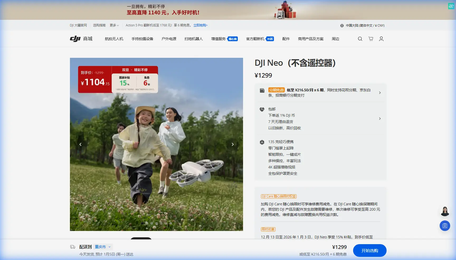
How I’d Use Neo to Inspect Windy Solar Farms Without Losing Coverage or Context
META: A practical Neo inspection workflow for windy solar farms, with antenna positioning advice, long-corridor mapping logic, and lessons drawn from pipeline survey demands in harsh terrain.
If you inspect solar farms for a living, wind changes everything.
Not just flight feel. Not just battery planning. Wind affects image consistency, overlap quality, antenna orientation, return paths, and how confidently you can move across long rows of assets without blind spots. That matters even more when your aircraft is Neo and your goal is useful field data rather than pretty footage alone.
I’m approaching this from the perspective of someone who cares about both visual discipline and operational reliability. My background is image-driven, but inspection work forces a stricter standard. You’re not flying to be impressed by the landscape. You’re trying to leave the site with organized evidence, complete visual coverage, and a repeatable method you can trust when the weather is less cooperative than the schedule.
The most useful reference point here comes from a very different energy environment: drone solutions built for oil pipeline inspection. At first glance, pipelines and solar farms seem unrelated. In practice, the operational pressure is remarkably similar. The source material describes inspection projects that are often expected to be “short, flat, and fast” in execution, with tight timelines, heavy workloads, and high quality requirements. It also highlights long-distance pipeline corridors up to 400 km and block-style oil and gas field systems around 100 km2, often crossing deserts, forests, mountains, and areas people or instruments can’t easily reach.
That’s the key lesson. The value isn’t just in flying. It’s in designing a workflow for infrastructure spread across difficult ground, where walking every section is inefficient or unrealistic.
A windy solar farm creates a smaller version of that same problem.
Why pipeline logic applies to solar inspection
A utility-scale solar site may not stretch 400 km, but it still behaves like corridor infrastructure. You’re dealing with repeating rows, access limits, reflective surfaces, uneven terrain, and a lot of ground to cover in a short window. If the wind is up, every weakness in your workflow gets exposed quickly.
This is where Neo can be more useful than people assume.
Many operators think of compact drones as convenience tools. For inspection, convenience is not enough. What matters is whether the aircraft can be flown with enough discipline to gather consistent, reviewable imagery around large asset arrays while the pilot stays aware of obstacles, signal strength, and shifting wind direction. In solar environments, that often means working near perimeter fencing, inverter stations, tracker assemblies, maintenance roads, and occasional terrain breaks that interfere with line of sight.
The old survey-world lesson from the reference material is that harsh environments punish improvisation. The companies that succeed build systems, not just flights.
Start with the site as a grid, not as a view
One mistake I see often is treating a solar farm like a photography subject. That leads to broad sweeps, cinematic passes, and scattered image sets that look good but are frustrating to use later.
Instead, break the site into inspection blocks.
The oil-and-gas reference mentions regional block systems around 100 km2. For solar, that same thinking is operationally useful at a smaller scale. Divide the farm into manageable sections based on:
- row orientation
- topographic breaks
- access roads
- inverter or combiner groupings
- likely wind exposure zones
- known problem areas from prior inspections
This matters because Neo flights in wind should be built around short, controlled assignments. When the air is unstable, trying to complete too much in one sortie usually degrades data quality before it saves time.
If I were planning a Neo workflow on a windy day, I’d create a sequence like this:
- Perimeter reconnaissance pass
- Block-by-block visual inspection
- Targeted close-in review of anomalies
- Supplemental tracking or repeat-angle passes where movement or mechanical issues are suspected
- Final verification sweep before landing
That structure gives you something the pipeline world has valued for years: coverage confidence.
The overlooked variable: antenna positioning for maximum range
You asked for antenna positioning advice, and this is one area where a lot of avoidable signal weakness creeps in.
For maximum practical range and a more stable link, don’t point the flat faces of the controller antennas directly at the aircraft as if they were flashlights. The strongest part of the transmission pattern is typically broadside to the antenna surface, not off the tip. In simple terms, the sides should “face” the drone, not the antenna ends.
On a windy solar farm, that becomes more important because the aircraft may drift laterally during hover corrections or when transitioning between rows. If your body position, controller angle, or vehicle roof setup partially blocks the antennas, you can create unnecessary signal instability right when the drone is already working harder to hold position.
My field habits are simple:
- Stand where you can maintain clean line of sight above row height and fencing.
- Keep the controller at a natural chest position instead of angled sharply downward.
- Rotate your torso with the aircraft rather than twisting just your wrists.
- Avoid launching from behind trucks, metal containers, or inverter cabinets.
- If the site has rolling terrain, move to the slight high ground when possible.
This sounds basic, but operationally it is huge. The pipeline source emphasizes work in places where people and instruments may struggle to reach. That makes signal management a planning issue, not an afterthought. On a solar site, you may be physically present, but reflective infrastructure, long repetitive corridors, and wind-driven flight corrections can still magnify poor controller positioning.
If you want a field-tested second opinion on layout and launch placement before a difficult site day, I’d suggest sending the site sketch here: share your inspection setup.
Use wind direction to choose your inspection sequence
Don’t let the wind choose your route. Decide first.
My preference is to begin upwind when practical, especially on larger sites. That gives Neo the freshest battery condition during the more demanding leg. Then I work back with the wind when I’m carrying a fuller image set and want a more forgiving return.
For row-based arrays, I also avoid long continuous lateral runs if crosswinds are gusty. Crosswind corrections tend to introduce more yaw micro-adjustments and framing inconsistency. A cleaner approach is shorter segments aligned to the row direction, followed by controlled repositioning.
Why does this matter? Because inspection isn’t only about seeing defects. It’s about being able to compare images later. Consistent angle, distance, and motion produce more reliable review conditions.
The original pipeline reference talks about projects with short cycles, heavy tasks, and high quality standards. That combination is familiar to anyone managing solar inspections during narrow weather windows. You don’t earn speed by rushing the stick inputs. You earn it by reducing refly risk.
Obstacle avoidance is most useful when you don’t rely on it
Neo users often overestimate what obstacle avoidance can do in infrastructure settings. On solar farms, your true hazards are not always dramatic. They’re repetitive and easy to underestimate: cable runs, poles, localized elevation changes, maintenance structures, and row-end hardware that can appear suddenly when you’re moving low and fast in gusts.
I treat obstacle avoidance as a safety buffer, not a navigation strategy.
The better method is to define altitude bands in advance:
- higher transit altitude between blocks
- medium altitude for row overview
- lower altitude only for confirmed point inspections
That layered approach reduces stress on both pilot and aircraft. It also works well with windy conditions, because each altitude band serves a different purpose. High transit preserves situational awareness. Mid-level inspection gives the best balance between coverage and control. Low passes should be brief and deliberate.
ActiveTrack and subject tracking: useful, but selective
On a solar farm, subject tracking is not for following people around the site. Its practical value is in maintaining visual lock on moving maintenance assets or repeated follow paths when you need consistent observation during service work. If a technician vehicle is moving to a reported issue, a careful ActiveTrack-style workflow can help document context around the route and surrounding rows.
Still, I would not default to tracking modes in stronger winds unless the path is clean and predictable.
Wind introduces deviations. Repetitive infrastructure introduces visual clutter. Put those together and the smartest choice is often plain manual control.
Use automated tools where they reduce workload without reducing certainty.
QuickShots, Hyperlapse, and why they’re not just creative extras
These features are often dismissed in inspection discussions, but that misses their secondary value.
QuickShots can help produce fast contextual overviews for stakeholders who need orientation before diving into detailed findings. A brief, controlled automated framing sequence can show the relationship between damaged sections and nearby access roads, equipment pads, or adjacent arrays.
Hyperlapse is even more niche, but in the right situation it can reveal movement patterns around the site: cloud progression, shadow travel across strings, or maintenance flow over time. That’s not your primary inspection evidence, but it can support operational understanding.
The warning is simple: don’t confuse contextual visuals with inspection proof. They supplement, not replace, methodical image capture.
D-Log and image discipline in reflective environments
Solar fields are visually harsh. Panels throw glare, contrast swings hard, and cloud breaks can ruin consistency across a single flight.
That’s where D-Log can help, particularly if your reporting process includes post-production normalization for review. A flatter profile can preserve highlight detail and make it easier to compare conditions across frames, especially when metallic structures, bright sky, and dark equipment share the same scene.
But there’s a tradeoff. If your team needs immediate, unedited field review, a simpler profile may be more practical. Choose based on your workflow, not based on what sounds advanced.
The broader point echoes the GNSS history in the source material. The company behind that reference built credibility by pushing practical technical milestones, including a lightweight receiver launch in 2004 and a four-satellite-compatible receiver in 2013 with full BeiDou compatibility, three-system calculation support, and a reserved Galileo channel. Those details matter because they reflect a culture centered on field-ready precision, signal resilience, and expanding operational flexibility.
That same mindset is what inspection teams need from their drone workflows. Not feature collecting. Practical reliability.
A field routine I’d trust with Neo in wind
Here’s the method I would actually use:
1. Walk the launch area first
Check for metal interference, obstacles, dust, and the cleanest line of sight. Pick a point slightly elevated if available.
2. Face the antennas correctly
Keep the broadside of the antennas oriented toward the aircraft’s working zone. Reposition yourself as the mission direction changes.
3. Run a short test leg
Before starting full capture, fly one row section and review the footage or images on-site. Look for drift, glare problems, framing inconsistency, and signal drops.
4. Inspect by blocks
Do not chase the whole site in one continuous rhythm. Segment the mission. Label media accordingly.
5. Fly upwind first
Use your strongest battery period for the hardest section. Save easier tailwind returns for later.
6. Keep low-altitude passes rare
Only descend for confirmed points of interest. Most of your value comes from organized medium-altitude evidence.
7. Use automation carefully
ActiveTrack, QuickShots, and Hyperlapse can add context, but manual control should dominate critical inspection segments.
8. Review before leaving
The worst mistake in infrastructure inspection is discovering at the office that one crucial block was captured poorly. Spot-check while you’re still on site.
What makes Neo viable here
Neo becomes useful for solar inspection not because it replaces larger survey systems, but because it can support fast, disciplined visual workflows where conditions are variable and site access is imperfect. That’s why the pipeline reference is so relevant. It describes environments where traditional ground-based measurement struggles due to terrain, scale, and urgency. Solar operators face a milder version of that same challenge every day.
When wind is present, the difference between a casual flight and a professional one comes down to structure:
- planned block coverage
- correct antenna orientation
- controlled altitude bands
- wind-aware routing
- selective use of smart features
- immediate field review
That is how you turn Neo from a convenient drone into a dependable inspection tool.
Ready for your own Neo? Contact our team for expert consultation.